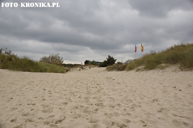
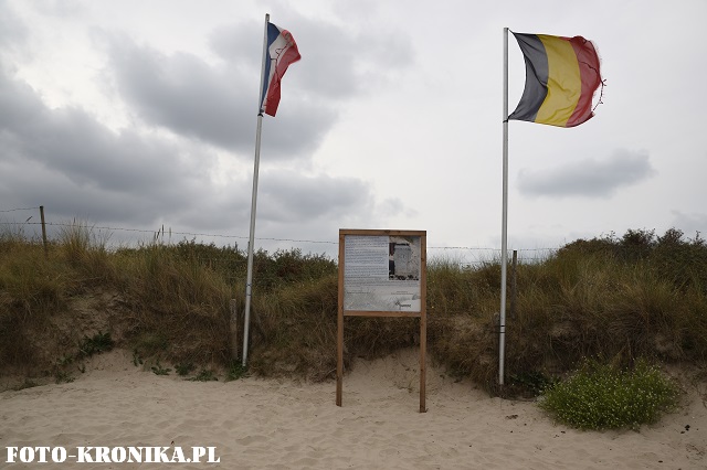
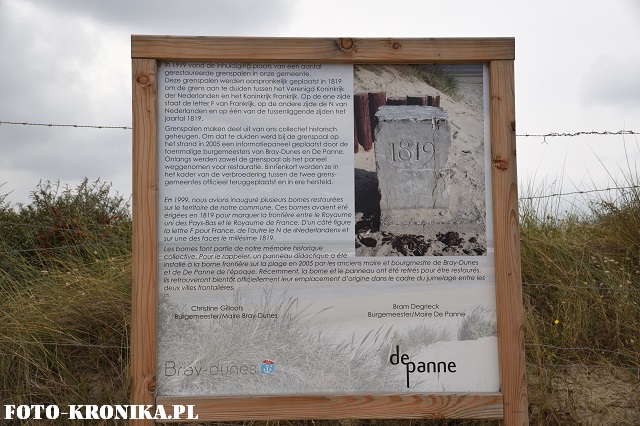
Po lewej De Panne w Belgii, a po prawej Bray-Dunes we Francji. Flagi stoją przy tablicy upamiętniającej kamienie graniczne z roku 1819. Wtedy oznaczały granicę między Królestwem Niderlandów i Francją, a dwanaście lat później, w roku 1831, zaczęły wyznaczać obecną granicę belgijsko-francuską.
On the left hand side – De Panne in Belgium. On the right hand side – Bray-Dunes in France. The flags stand next to a commemorative board about border stones of 1819. At that time, the stones marked the border between the Kingdom of the Netherlands and France. Twelve years later, in 1831, they became marking of the Belgian-French border.


